
Reading Belize City weather beyond the monthly average
Belize City weather is best planned using separate tools for climate and the conditions of your actual trip. The National Meteorological Service of Belize publishes historical averages for the Phillip Goldson International Airport station at Ladyville. These describe a long record near the city, while current land and marine forecasts address the day ahead. The operating decision for a boat or cave activity needs current conditions rather than a monthly rainfall figure.
Use the table to understand the seasonal background, then follow the National Meteorological Service General Weather Forecast and Marine Forecast for current conditions. For a choice of travel month rather than a reading of the data, see the best time to visit guide. An excursion date still needs its own operational decision, even in a month with comparatively little historical rain.
Monthly temperatures and rainfall at PGIA
The table reproduces the National Meteorological Service PGIA climate normals for 1991 to 2020. Maximum and minimum temperatures are monthly averages of daily highs and lows, not record extremes. Rainfall is the average monthly total. The station is at the airport near Ladyville, so these figures should not be treated as identical measurements for downtown streets, offshore reefs and the Cayes.
| Month | Mean daily maximum °C | Mean daily minimum °C | Mean monthly rainfall mm |
|---|---|---|---|
| January | 27.9 | 20.6 | 141.4 |
| February | 28.8 | 21.5 | 64.7 |
| March | 29.8 | 22.4 | 41.0 |
| April | 31.2 | 24.2 | 58.0 |
| May | 31.9 | 25.2 | 131.8 |
| June | 31.7 | 25.7 | 236.4 |
| July | 31.5 | 25.3 | 180.2 |
| August | 31.8 | 25.3 | 195.0 |
| September | 31.8 | 24.9 | 229.8 |
| October | 30.6 | 23.9 | 305.5 |
| November | 29.2 | 22.0 | 235.8 |
| December | 28.3 | 21.2 | 150.9 |
Our own reading of this historical rainfall series identifies February to April as the least rainy months, with March the driest and October the wettest. That comparison helps with seasonal expectations. It does not describe how rain will be distributed during a particular stay, nor does it provide a forecast for an individual sailing or excursion.
A mainland day trip
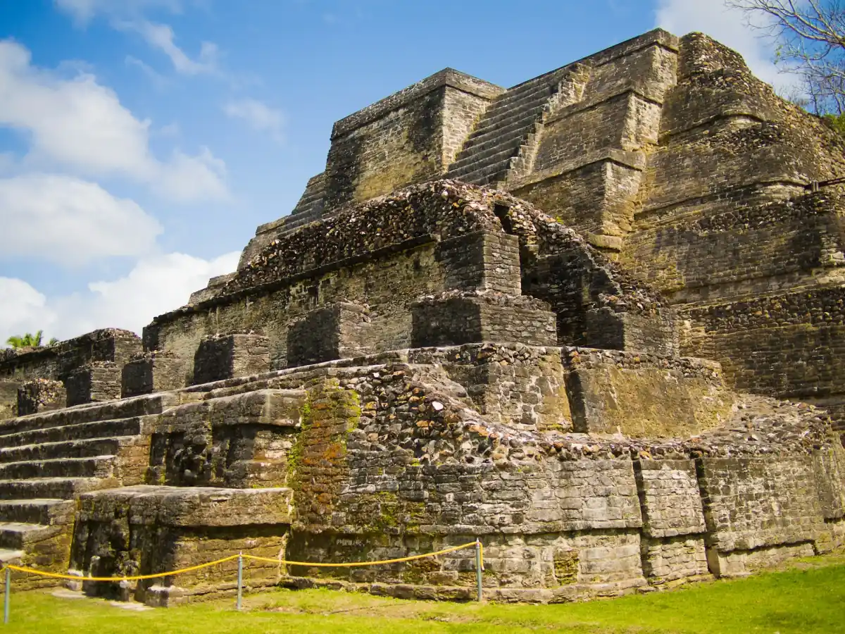
This day trip combines Altun Ha and cave tubing; check water conditions before booking.
Hand-picked tours, booked through Viator. Prices are indicative starting prices in US dollars (as of October 2026). Tap a tour for live availability and the current price in your currency.
Altun Ha and cave tubing in your weather plan
This combined outing includes Belize City transport, site entry fees and tubing safety gear; river conditions remain part of deciding the day’s cave activity.
Hurricane season and water levels
The Atlantic and Caribbean hurricane season runs from 1 June to 30 November; storms can also occur outside those dates. NOAA’s explanation, updated on 23 September 2026, provides the seasonal framework. Being inside the season is not itself a warning for your travel date, and being outside it does not settle the question of conditions at sea.
For a cave itinerary, the water level is a separate part of planning. Nohoch Che’en is a cave system at the Sibun River in eastern Cayo District. Its regular visitor information should not be used as a same-day release for water activities. Follow current site and excursion instructions, and leave room to adjust the outing if water conditions change.
The Altun Ha and cave-tubing excursion illustrates this distinction. Its inclusions cover reserve and cave-tubing park entry fees, round-trip air-conditioned van transport from Belize City, bottled water and tubing safety equipment. Port and local hotel pickup and drop-off are included. Combining a Maya site and a water activity still leaves the cave portion dependent on water conditions; transport and equipment do not make the outing weatherproof.
Participation at Nohoch Che’en
NICH’s published, undated visitor guidance calls for a guide, no more than 8 guests per guide, a minimum height of 40 inches or 101.6 cm, swimming ability and good physical condition. A life vest and a helmet with a light are part of that guidance. Eligibility for admission should be considered separately from suitability for the water activity.
Do not touch or climb cave formations. Avoid running or jumping, and leave no litter. Read the practical cave-tubing guide before choosing the activity, particularly when travelling with someone whose height, swimming ability or physical condition needs consideration. General visitor guidance and the equipment included in a particular tour answer different questions.
Boat conditions and your onward journey
Rainfall on land and conditions on a sea crossing should be assessed separately. Use the NMS Marine Forecast when planning water taxis to the Cayes or a reef outing. For a cruise call, take the actual tender and return instructions from your ship. Keep some flexibility between reaching shore, meeting an excursion and boarding for the return, rather than calculating the day from an assumed fixed tender duration.


Weather questions
Are the temperature figures record highs and lows?
They are monthly averages of daily maximum and minimum temperatures at PGIA during 1991 to 2020. They are not record extremes or a prediction of the temperature on your visit.
Does a dry month guarantee cave tubing?
Water levels and the current operating decision govern the water activity. The historical rainfall series helps choose a season; obtain the current site instructions for your particular day.
Which forecast matters for a boat trip?
Use the National Meteorological Service of Belize Marine Forecast alongside the operator’s current instructions. The General Weather Forecast adds land-weather context; neither should be replaced by a monthly climate average.